Rock ledgeStructure-coded waypoint
Built for anglers who fish with intent
Precision fishing intelligence, protected waypoint packs, and live helm navigation—from your phone to your wrist.
Coming soon to iOS, Android & Wear OS
01 / THE MISSION
One connected system for discovering water, protecting your best spots, and staying locked on target when it matters.
02 / ONLINE COMMAND CENTER
The ReelPoints web app turns a licensed waypoint pack into an actionable day plan. Explore the water on a large screen, isolate the structure you want to fish, arrange stops, estimate the run, and save the route to your account.
03 / READ THE WATER
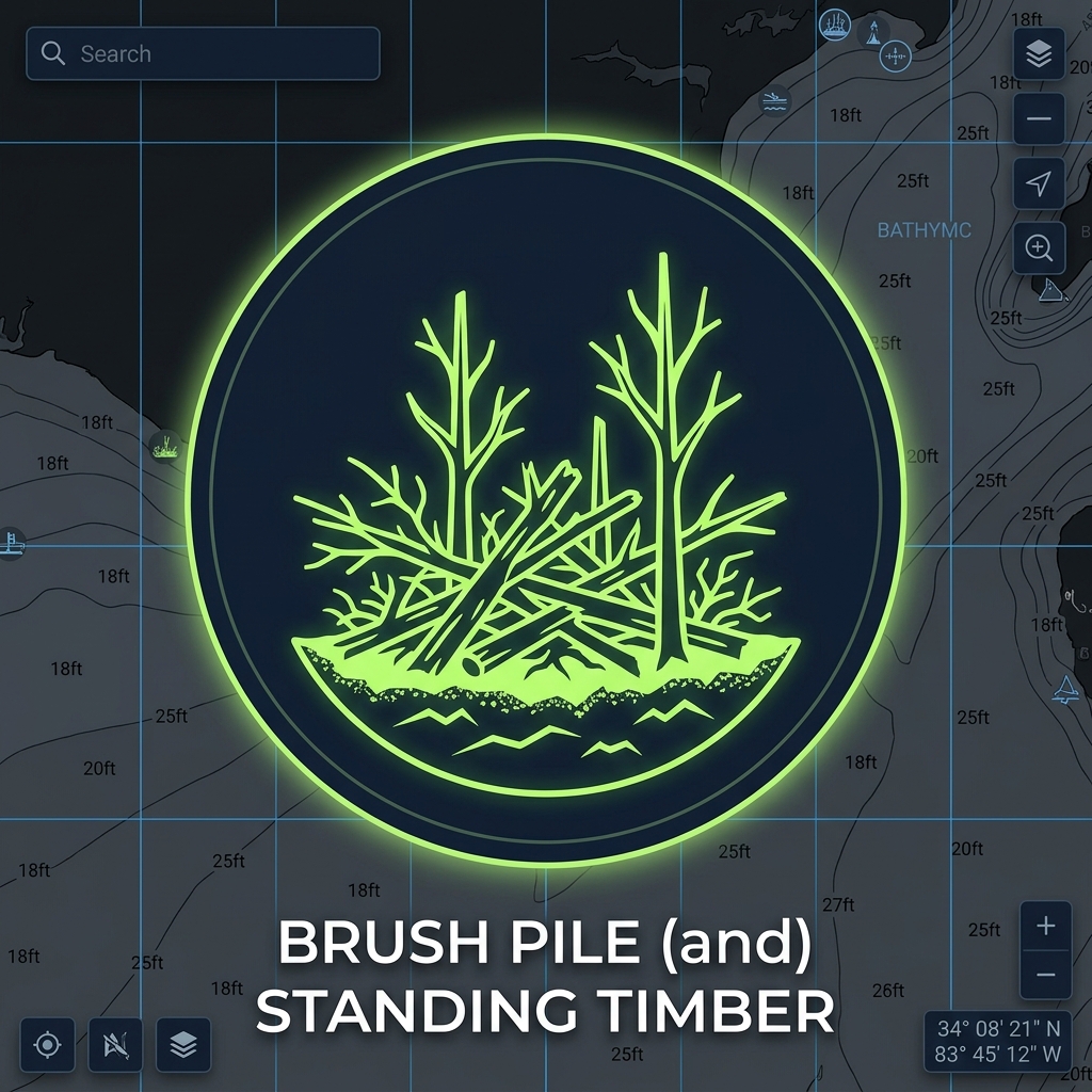
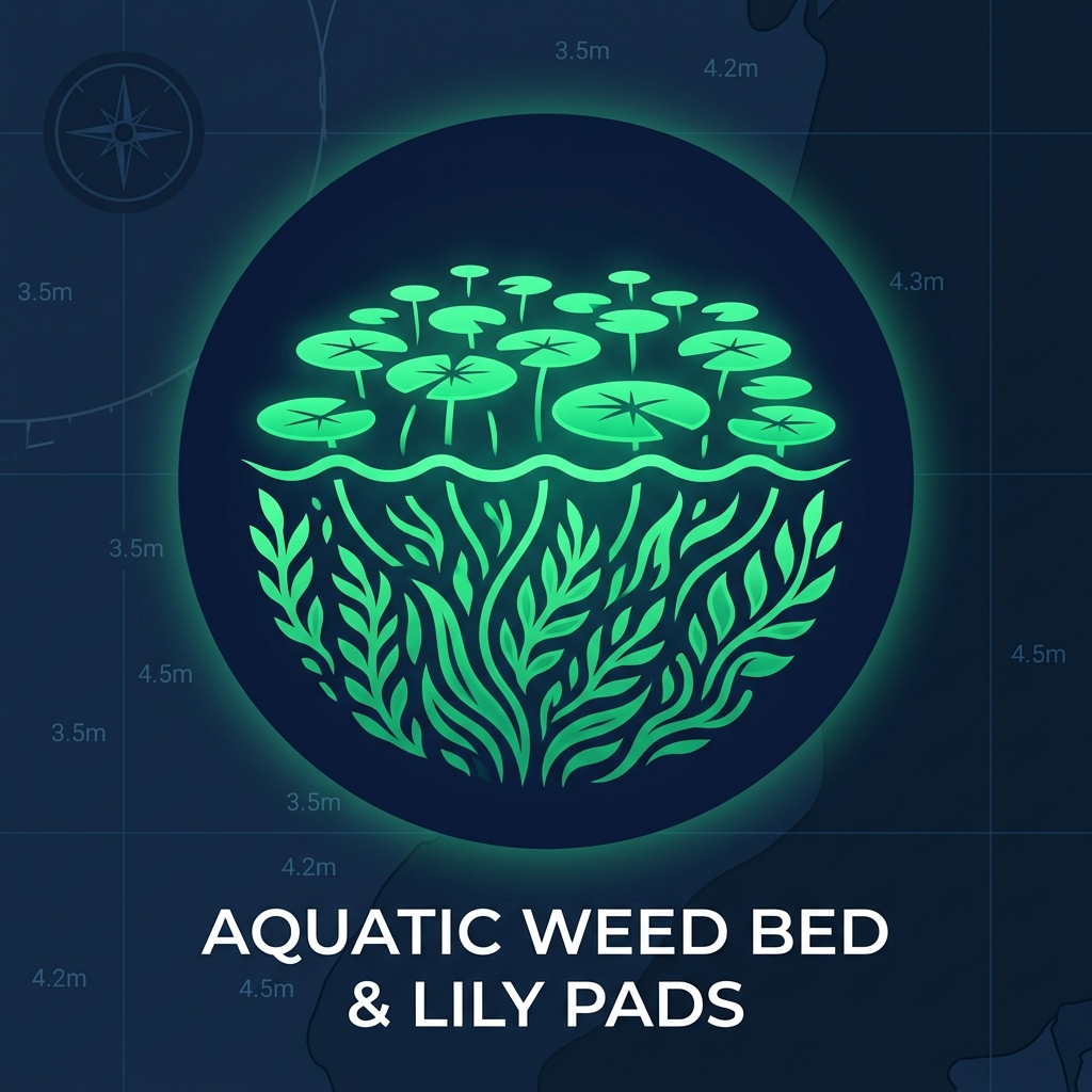
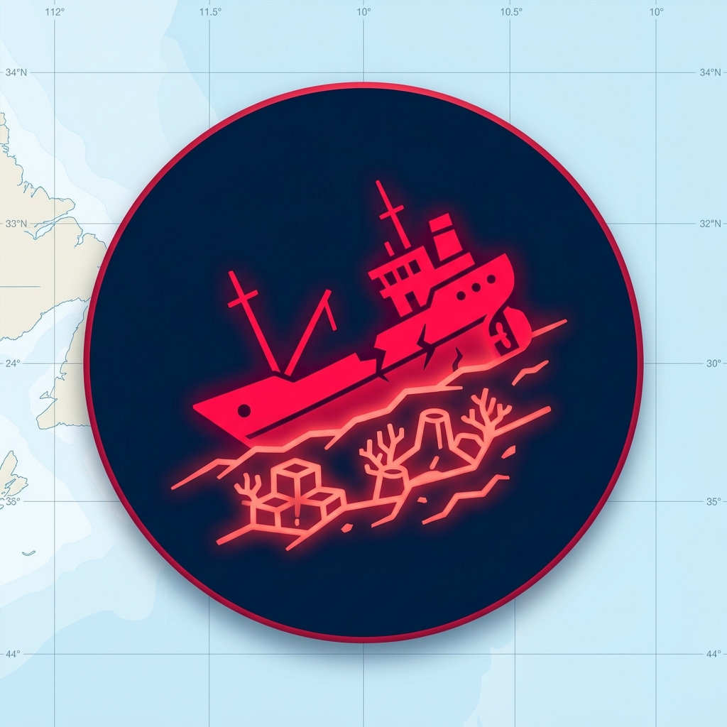
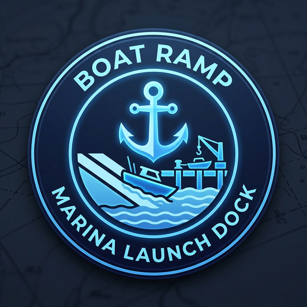
Waypoints are organized by the kind of structure they represent—not dumped into one anonymous cloud of pins. Filter the chart to the pattern you are targeting and make every stop intentional.
04 / ONE CONNECTED TRIP
Find the right licensed pack by waterbody, region, target species, and seasonal intelligence.
Filter structure, inspect depth and details, add custom spots, and sequence your route.
Save the trip to your account so the same plan is ready on your mobile device.
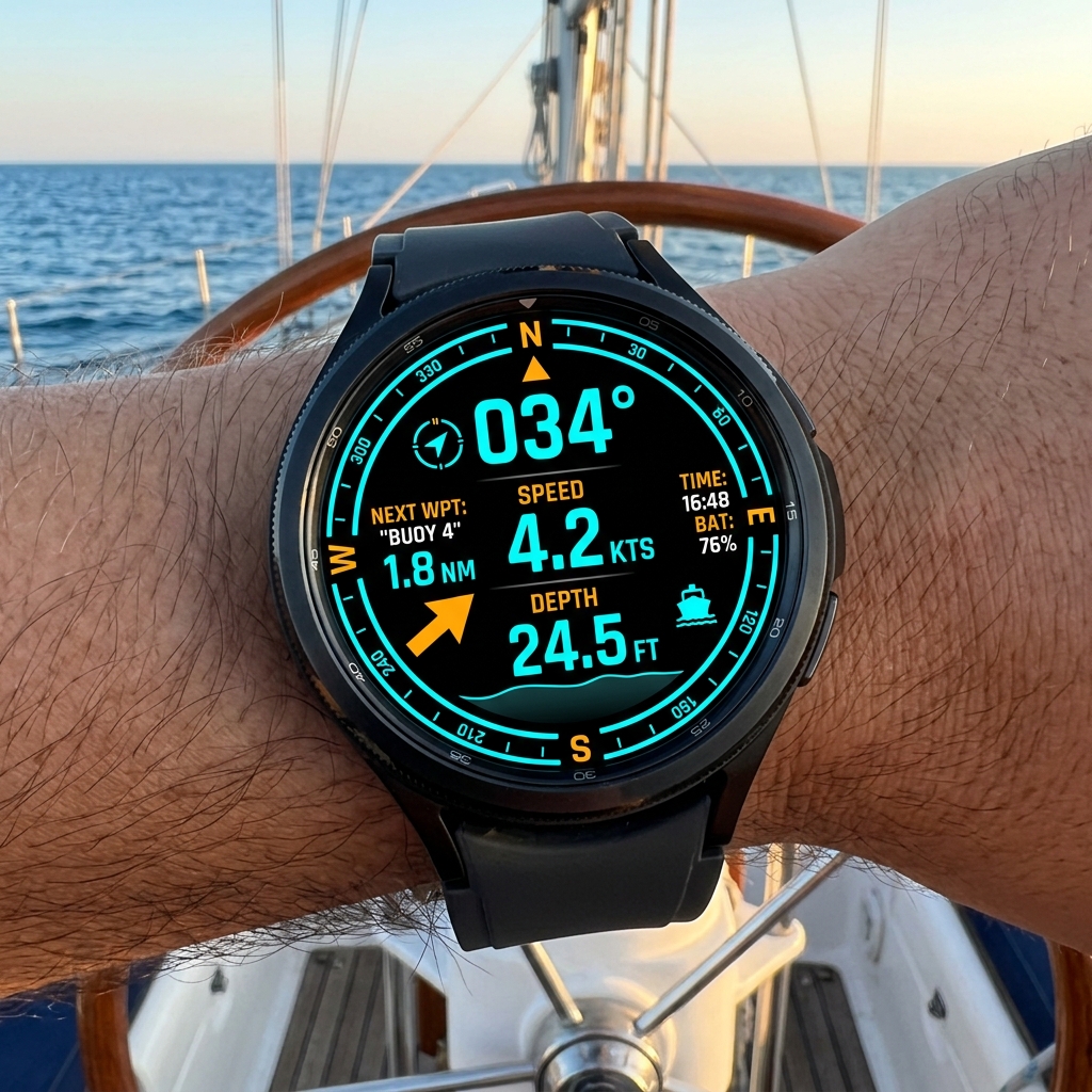
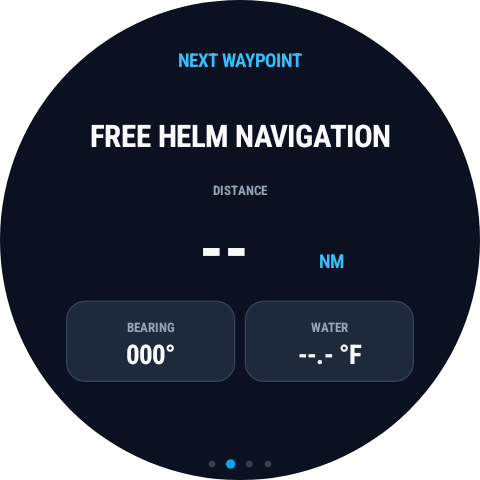
Run the route with live bearing, distance, arrival awareness, and wrist-level telemetry.
05 / MOBILE COMMAND CENTER
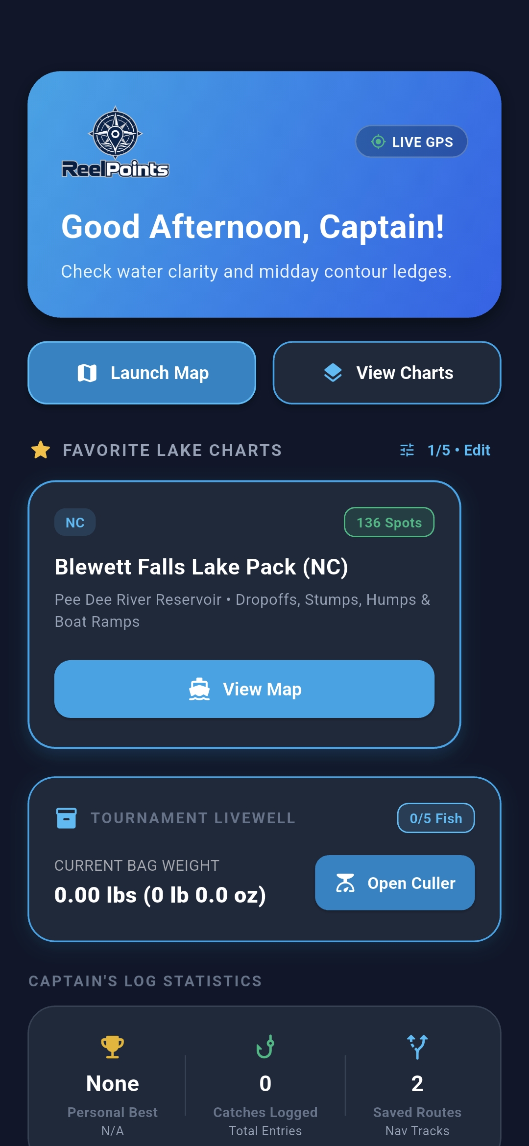
ReelPoints brings lake intelligence, catches, navigation, and tournament tools into one focused cockpit.
Authentic in-app interface
06 / IN-VEHICLE EXPERIENCE
ReelPoints is being extended to Android Auto and Apple CarPlay, bringing the active experience from your phone to compatible integrated radio and infotainment systems.
Carry authenticated ReelPoints navigation from your Android phone onto a compatible vehicle display.
Continue active routes and essential helm guidance from your iPhone on a compatible CarPlay display.
Continue northeast · Arrival guidance active
PHONE TO VEHICLE
Choose a waypoint or saved route on your phone, then continue with a simplified, glanceable experience on the vehicle display.

07 / WEAR OS HELM
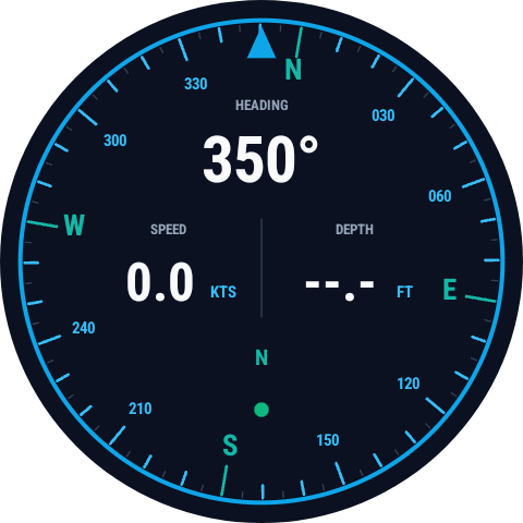
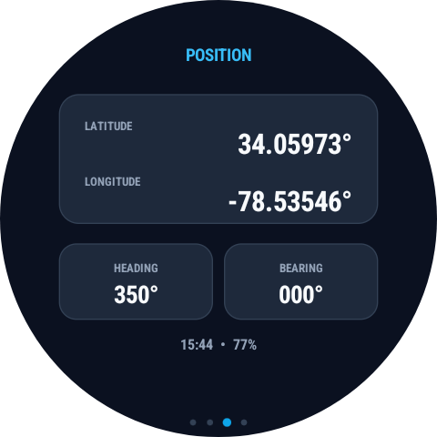
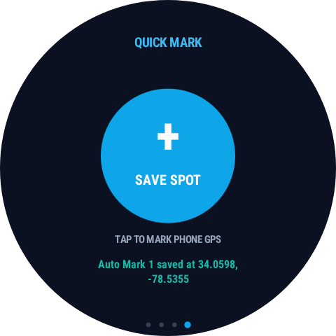
Your next waypoint is already on your wrist. ReelPoints Wear OS keeps the essential navigation signal visible while your phone stays secure.
08 / THE FULL SYSTEM
Planning, intelligence, navigation, safety, and the history of every day on the water—connected across web, phone, vehicle, and wrist.
Move between standard maps, satellite imagery, and NOAA marine-chart context.
Overlay live Doppler radar and surface active NOAA marine hazard alerts.
Use location-aware feeding windows and lunar intelligence while planning.
Sequence stops, calculate distance, estimate time, save routes, and follow them live.
Record species, weight, length, lure, depth, temperature, notes, photos, and location.
Set an anchor radius and stay aware of drift while you hold position.
Browse licensed intelligence by waterbody, region, species, and structure.
Where enabled, export selected licensed points to GPX, KML, or CSV with audit controls.
09 / BUILT DIFFERENT
Every surface is engineered around one job: helping you make the next right move on the water.
Your hard-earned coordinates stay encrypted, controlled, and yours.
Purpose-built lake charts and waypoint packs turn research into a plan.
Live distance, bearing, speed, and arrival data travel from phone to wrist.
FIRST CAST IS COMING
Get release news, early access updates, and the first look at launch features.
No spam. Only meaningful updates from the ReelPoints crew.